Our projects Past and Present
Archaeology is in flux at the moment: it has never been more popular and there has been an exponential growth in the volume of data from development led excavations. However, the majority of archaeological projects in Scotland find nothing, in turn this has led to a de-skilling in the profession, where people expect to find nothing and can’t cope if they do.
At the same time, the key-well known sites that are clearly the best-preserved and therefore have the most to offer researchers are excluded from development archaeology as they are preserved in situ. As a consequence, the data these sites contain is excluded from the developer led sequences.
A combination of these factors led Murray Cook and David Connolly to launch a series of projects in Aberdeenshire and East Lothian that were aimed at dating upstanding, well preserved sites about which nothing was known, but which figured in endless pontification over the generations. Once we know the date, then we can build and test hypotheses.
The key results of the Aberdeenshire projects were published in the Proceedings of the Prehistoric Society in 2013: Open or enclosed: settlement patterns and hillfort construction in Strathdon, Aberdeenshire, 1800 BC to AD 1000. However, one of the sites sampled during this work, Balbithan Wood, was so rich that further work was an obvious outcome.
Sheriffside, East Lothian: 2011 –
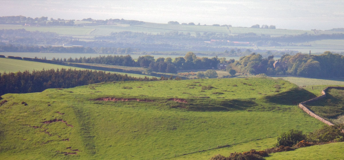
Sherrifside is another hillfort located on a key north-south route, although this time the hillfort had been completely flattened and was only rediscovered during aerial photography in 1981.
Again our aims were simple to produce an accurate plan and then to date the key features and the overall sequence. However, as there were no upstanding remains this required geophysical survey which was undertaken by the Edinburgh Archaeological Field Society.
Our initial approach was to repeat the Whitecastle method, small scale key-hole trenches over key features. However, we soon discovered that this was impractical due to the scale of the features, the first ditch we encountered was over 3m deep and 6m wide, the largest currently identified in East Lothian.
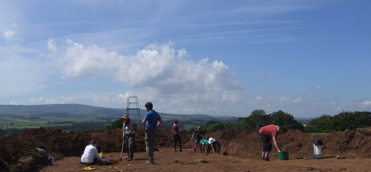
We then came back to the site and opened an area 10 m wide by 20 m long with a machine and then proceeded to clean the lower surfaces. This revealed an impressive sequence comprising four palisades or substantial fence lines, followed by two massive ditches each 3m deep and then following the infilling of the ditches another palisade was constructed. The sequence stretches from 600 BC to at least AD 400. The first three palisades are all BC and demonstrate that the settlement expanded from 600-200 BC. After the start of the millennium the site become a massive double ditched enclosure, certainly a hillfort but this was then destroyed and replaced by a very large palisaded enclosure.
Balbithan, Aberdeenshire: 2008 –
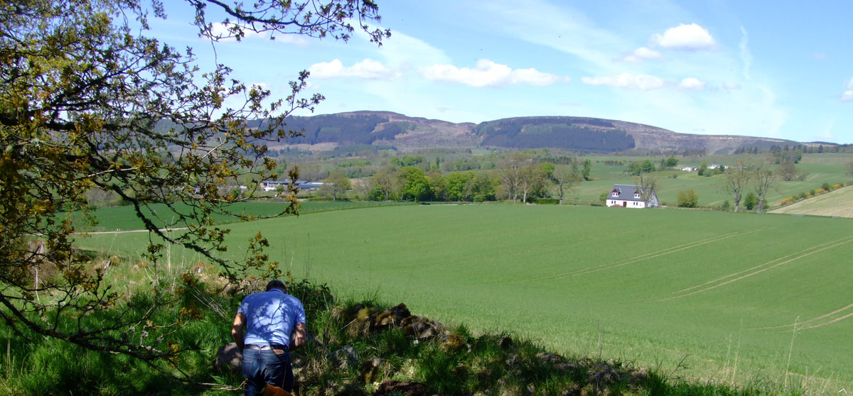
Balbithan Wood, Kintore Aberdeenshire, is a Forestry Commission woodland that was laid aside in the late 18th century for woodland and which was never subject to modern intensive ploughing. It therefore, contains a typical upland preserved sequence but in a lowland context.
The key feature of the wood are the c 30 small circular enclosures, often assumed to be hut-circles and the several hundred clearance cairns. The combination of the two means that Balbithan Wood contains a preserved prehistoric landscape and as such large chunks of it have been Scheduled by Historic Scotland as being of National Significance. While welcomed this is a blanket classification of a complex series of monuments which have been subject to five different surveys and five different sets of results.
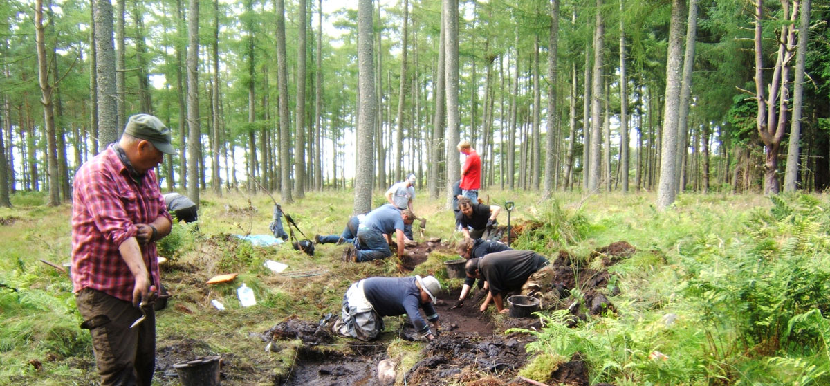
My initial examinations of Balbithan represented an attempt to compare the architecture of plough truncated roundhouses excavated at nearby Kintore with those of upstanding examples, it was very clear that the upstanding remains were more complex than survey alone could reveal. There then followed a further five years of work (2011-15) that attempted to characterise the hut-circles through intensive field-survey and key-hole excavation. The same techniques were also applied to the clearance cairns.
It was immediately clear that not all the circular structures we have been calling ‘hut-circles’ were hut-circles: some appear to be ring-cairns while another was banks around a broken standing stone. Within the clearance cairns there were two broad types c 2m diameter and c 5m diameter, the former representing 95% of the assemblage. The outstanding find from 2014, was an apparent clearance cairn that was in fact the first stages of a Neolithic long cairn, full of smashed Neolithic pottery.
The final season in 2015 will return to the long cairn and look at 30m circular features that may be an undiscovered hillfort!
White Castle, East Lothian: 2010 – 2013
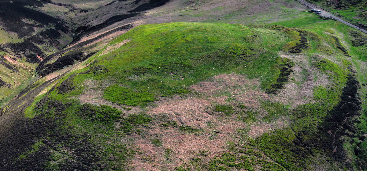
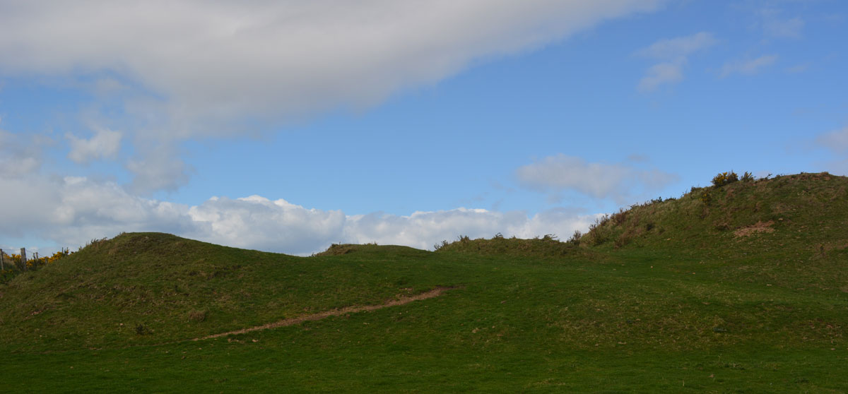
Whitecastle was the first of Rampart Scotland’s East Lothian projects, taking the techniques learned in Aberdeenshire and applying to them to a bigger site over a four year period. Whitecastle has three sets of ramparts with at least three gaps in each rampart, which may have been entrances and a contained a number of platforms within it. It sits on one the key north-south routes through the Lammermuirs.
Our aims were simple: to survey the site and record the number of internal platforms; to date the ramparts; to date to internal platforms and to determine if the gaps were entrances or later breaches caused by cattle.
We demonstrated that the hillfort was fortified around 400 BC and occupied until c 200 BC, that only two of the ramparts were ever used at the same time; that the internal platforms were probably houses and that they were occupied at the same time as the ramparts were constructed. Finally, it was clear that the gaps were all entrances and that the northern sections of the ramparts were merely terraces and that therefore defense was not a primary motivations.
The site was reused around AD 1200 and AD 1600 and this appears to reflect the continual use of the route over the Lammermuirs.

